Transformative Aerial Solutions
Comprehensive drone services designed to revolutionise logistics, healthcare, infrastructure, emergency response, and urban airspace management.
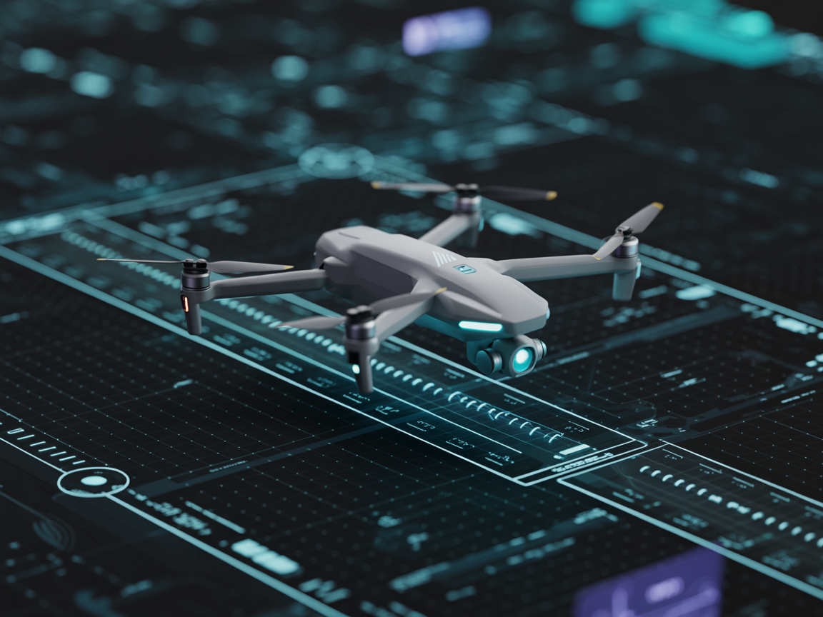
Drone Operations (BVLOS)
Safe and compliant long-range drone operations
Our Beyond Visual Line of Sight (BVLOS) operations enable long-range autonomous drone flights with advanced detect-and-avoid systems, real-time monitoring, and full regulatory compliance. We deliver safe and efficient operations at scale under controlled and compliant conditions.
Value: Unlock the potential of autonomous aerial logistics with extended range, reduced operational costs, and minimal human intervention — all within CAA regulatory frameworks.
Use Cases
- Long-distance logistics delivery
- Remote infrastructure monitoring
- Emergency supply transport
- Agricultural surveying and management
Key Benefits
- •Extended operational range
- •Real-time flight monitoring and control
- •Advanced obstacle detection and avoidance
- •Full CAA compliance and certifications
- •Reduced operational costs vs. traditional logistics
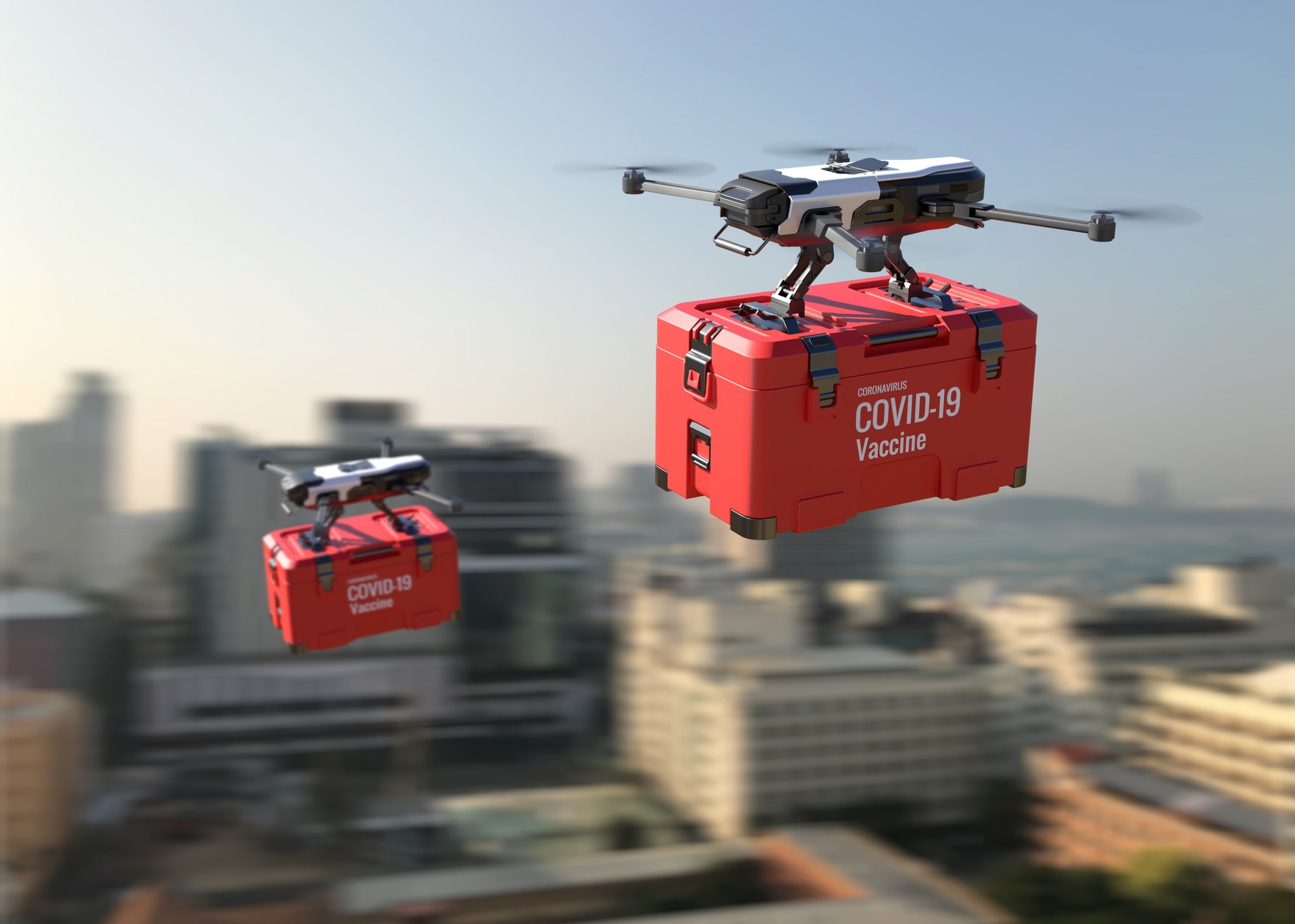
Healthcare Logistics
Time-critical delivery of medical supplies and equipment
Rapid delivery of medical supplies, laboratory samples, and critical equipment between healthcare facilities. Our healthcare logistics service reduces delays and improves patient outcomes through reliable, temperature-controlled aerial transport.
Value: Reduce delivery times for critical medical supplies, improving patient outcomes and supporting NHS operations with rapid, reliable aerial logistics.
Use Cases
- Medical supply delivery between hospitals
- Laboratory sample transport
- Critical equipment transfers
- Remote area medical supply
- Emergency medication delivery
Key Benefits
- •Temperature-controlled cargo systems
- •Rapid response times for critical deliveries
- •Secure, trackable medical transport
- •Reduced reliance on ground infrastructure
- •Integration with NHS and healthcare systems
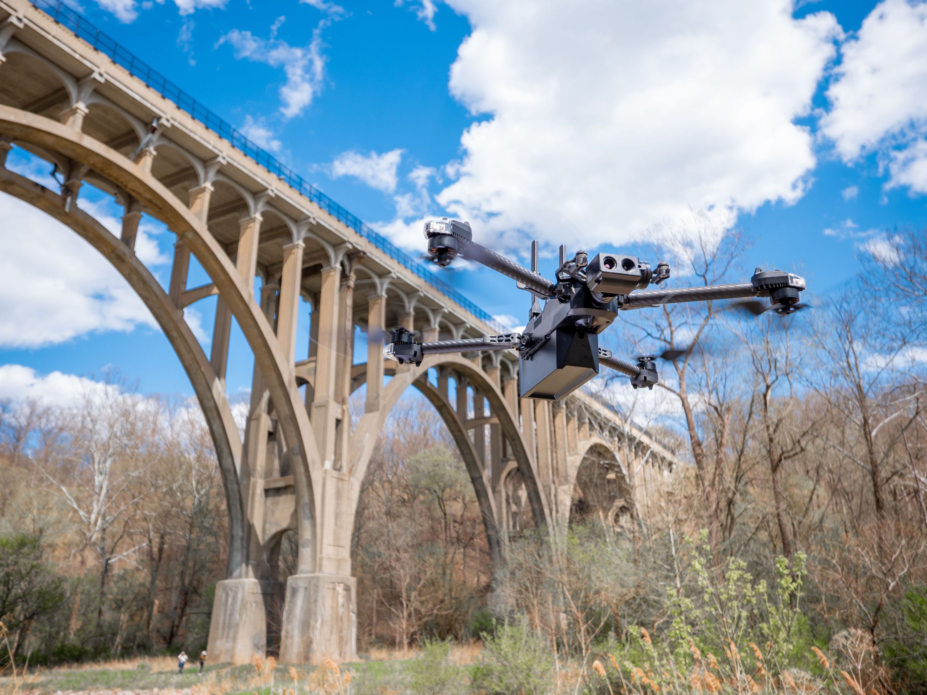
Infrastructure & Inspection Services
High-precision aerial inspection solutions
Advanced aerial inspection solutions for infrastructure assets, improving safety while reducing operational costs. Our drone-based inspection services provide detailed, data-rich assessments of bridges, power lines, pipelines, and other critical assets.
Value: Reduce inspection costs while improving safety and data quality through advanced aerial imaging and analytics.
Use Cases
- Bridge and structural inspections
- Power line and transmission tower monitoring
- Pipeline integrity assessments
- Wind turbine blade inspection
- Railway infrastructure surveys
Key Benefits
- •High-resolution imaging (thermal, visual, LiDAR)
- •Reduced downtime and inspection costs
- •Enhanced worker safety
- •AI-powered defect detection and reporting
- •Comprehensive digital asset records
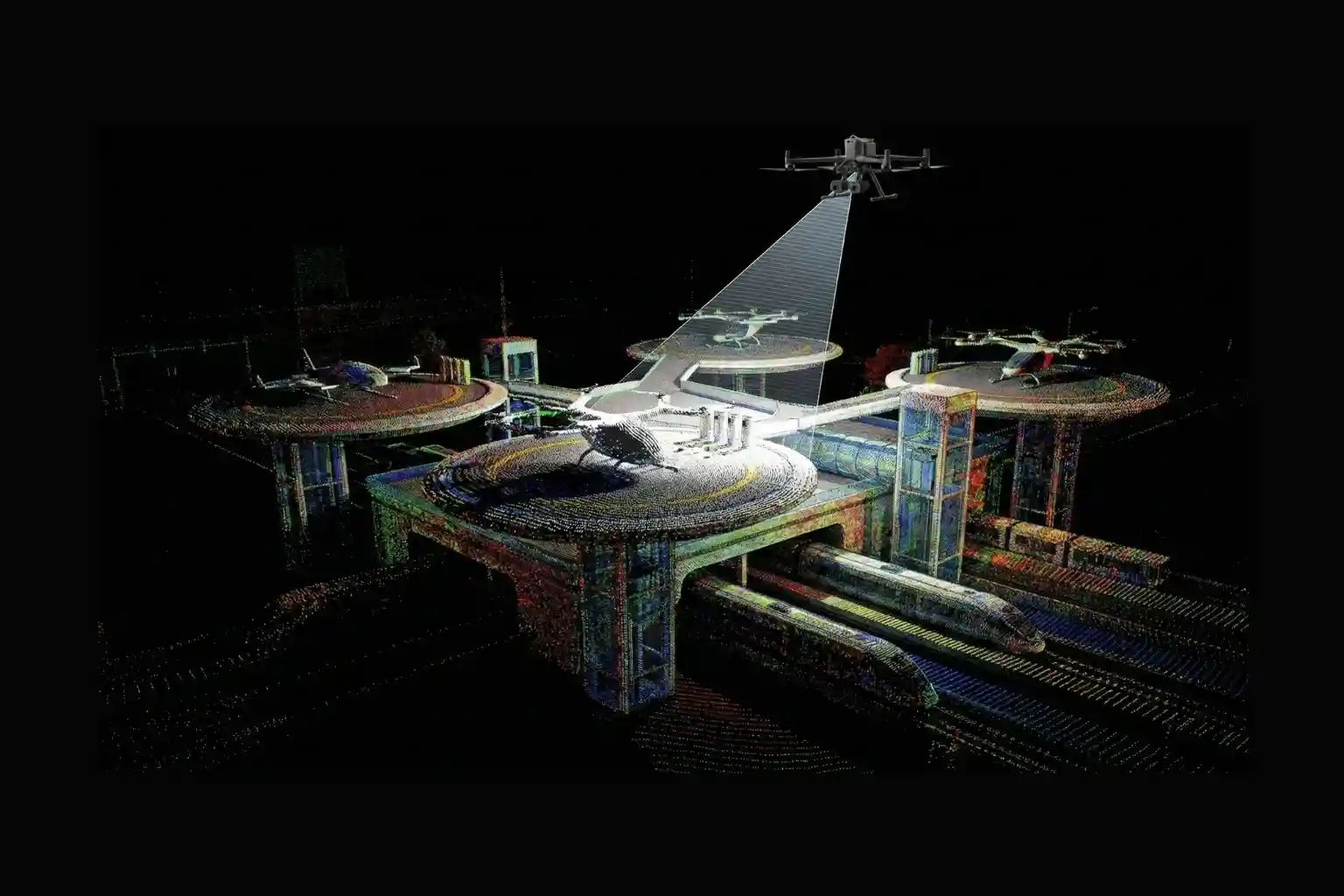
Corridor Access & Airspace Integration
Development of scalable aerial logistics corridors
Building dedicated airspace infrastructure for next-generation logistics. We work with local authorities and regulators to establish drone corridors — designated aerial routes that enable safe, high-volume autonomous operations integrated into smart city ecosystems.
Value: Enable scalable aerial logistics operations through dedicated airspace corridors, traffic management systems, and regulatory partnerships.
Use Cases
- Urban logistics and last-mile delivery
- Smart city infrastructure integration
- Multi-stakeholder airspace coordination
- High-density drone traffic management
- Public-private corridor partnerships
Key Benefits
- •Coordinated airspace access and traffic management
- •Scalable infrastructure for high-volume operations
- •Integration with UTM (Unmanned Traffic Management)
- •Regulatory compliance and local authority partnerships
- •Foundation for autonomous urban mobility
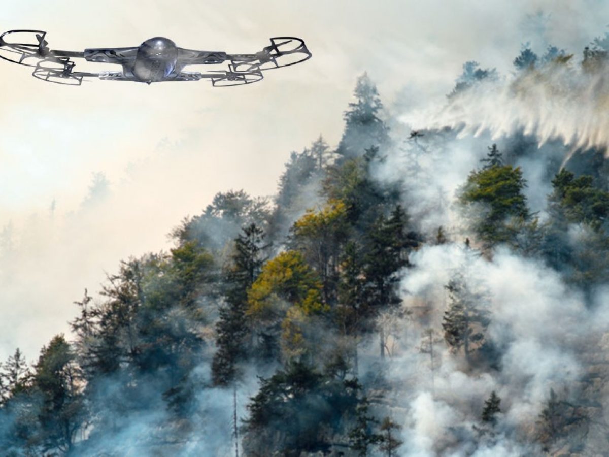
Emergency Response & Public Safety Support
Supporting emergency response through rapid deployment, real-time aerial visibility, and delivery of critical supplies in high-risk environments
When every second counts, AerialConnect provides rapid drone deployment to support emergency services and disaster management operations. Our systems deliver real-time aerial visibility, situational awareness, and critical supply delivery to high-risk or hard-to-reach environments — enabling faster, more informed response decisions.
Value: Dramatically enhance emergency response capability with rapid aerial deployment, live situational intelligence, and critical supply delivery to areas that ground vehicles cannot reach quickly.
Use Cases
- Disaster zone aerial surveillance
- Critical supply delivery in emergencies
- Search and rescue support
- Real-time situational awareness for first responders
- Flood and fire zone assessment
Key Benefits
- •Rapid deployment in emergency situations
- •Real-time video and data feeds
- •Access to hard-to-reach areas
- •Supports emergency services and local authorities
- •Integration with existing disaster response frameworks
Ready to Explore Our Services?
Let's discuss how AerialConnect can transform your operations with autonomous aerial solutions.
Get in Touch